Which U.S. States Would Be Most Vulnerable in a Global Conflict? A 2026 Reality Check
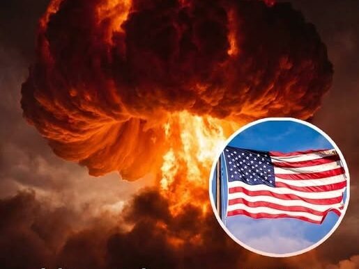
As tensions spike around the world in early 2026, questions about U.S. vulnerability have moved from history books to front-page concern. Analysts are revisiting Cold War-style simulations, mapping which states would face the highest risk in a hypothetical large-scale military conflict. The findings are stark: geography and infrastructure, not population, define the most “targeted” areas.
The central U.S.—Montana, Wyoming, North Dakota, South Dakota, Nebraska, and Colorado—houses sprawling missile fields and hardened silos, making them the focus of any strike aimed at crippling America’s nuclear deterrent. Nearby states like Iowa and Minnesota are also at risk due to key command centers and airbases. The irony is clear: national security makes quiet rural communities an inadvertent frontline.
Coastal and economic hubs—California, New York, Texas, and Virginia—face a different danger. Major ports, energy nodes, and financial centers make these regions strategic targets, with potential ripple effects that could paralyze commerce and essential services. Meanwhile, even “lower-risk” regions in the Northeast, Mid-Atlantic, and Southeast could experience fallout, supply chain disruptions, and environmental hazards far beyond initial impact zones.
Conitnue reading on the next page…